
Pan-Arctic GNSS Infrastructure for Atmospheric Science
A shared Arctic GNSS infrastructure for atmospheric, ionospheric, and space-weather research, bringing together distributed stations, data services, and visualization tools in a single platform.



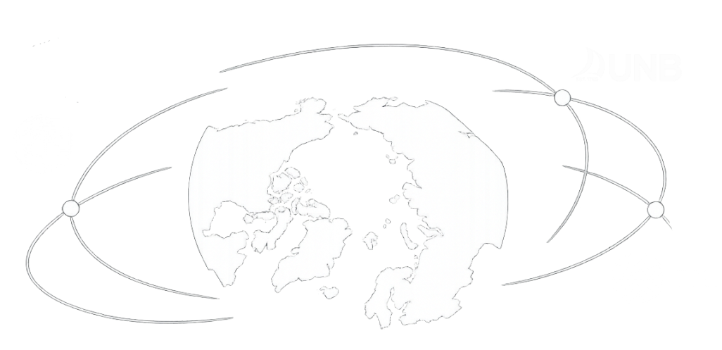
Project funded by PRA (Programma di Ricerche in Artico).
Overview
The PAGINA (Pan-Arctic GNSS Infrastructure for Atmospheric Science) project addresses the current gap in GNSS observations over the Arctic by developing a unified IT platform for the management and sharing of data acquired by a distributed network of high-rate ground-based GNSS receivers.
The project integrates observations collected at sites in Svalbard, Finland, Greenland, and Canada, leveraging existing monitoring networks operated in the Arctic by INGV (Istituto Nazionale di Geofisica e Vulcanologia, Italy), UNB (University of New Brunswick, Canada), and FMI (Finnish Meteorological Institute, Finland).
The project is funded by the PRA (Programma di Ricerche in Artico). Based on the official PRA project description, PAGINA is framed as a pan-Arctic GNSS infrastructure supporting atmospheric science through shared observations, services, and interoperability across Arctic sites. More information on the PRA project page.



Objectives

Primary Goal
Provide a single access point to at least 20 stations equipped with high-rate GNSS Ionospheric Scintillation Monitoring Receivers (ISMRs), capable of supporting scientific investigations of ionospheric irregularities and the polar upper atmosphere.
Extended Vision
Beyond this initial goal, the PAGINA platform is designed to potentially host additional data (e.g. raw observation and RINEX files) beneficial for a broader range of atmospheric and space weather studies, as well as to serve as a backbone infrastructure for future deployment of GNSS instrumentation in the Arctic region.

A Model for Collaboration
As it is conceived, PAGINA represents a case study demonstrating how international scientific collaboration can foster the development of shared data infrastructures, benefiting both scientific and industrial communities.
Current Status
This work presents the current status of the project and a preview of the web platform and associated tools for data access and visualization. We also aim to stimulate discussion on potential collaborations in space weather research and on the development of shared infrastructures for data management and dissemination in polar regions.
Platform Features
The platform is organised into dedicated pages designed for exploration, operational inspection, and direct access to the underlying services. Each section supports a different step of the user workflow, from spatial overview to detailed data analysis.
Network Page
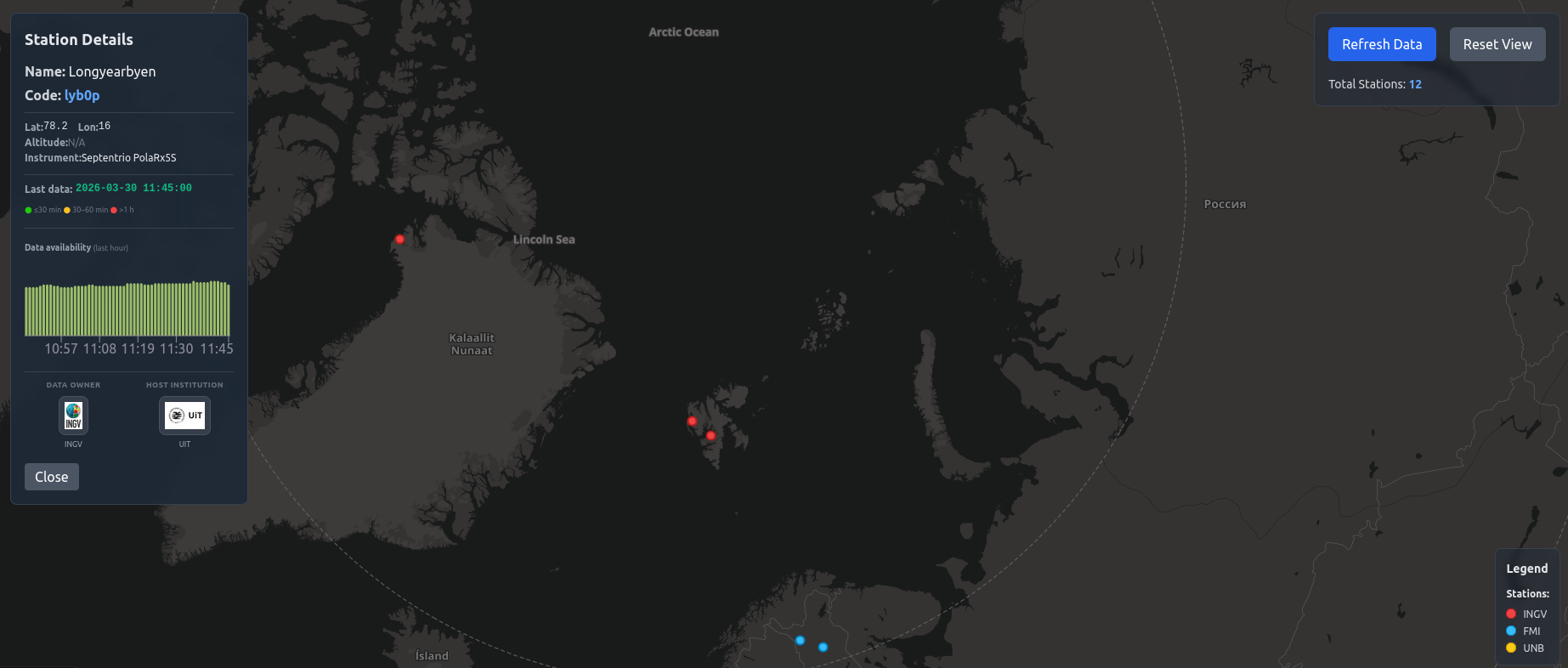
The Network page offers an immediate view of the full Arctic GNSS infrastructure through the interactive polar map. It helps users identify active stations, inspect station metadata, and understand how the network is distributed across the monitored regions.
- Interactive polar map with all active GNSS stations.
- Station metadata, operators, instrument types, and latest activity.
- Station list export for quick offline inspection and reporting.
Explore Data Page
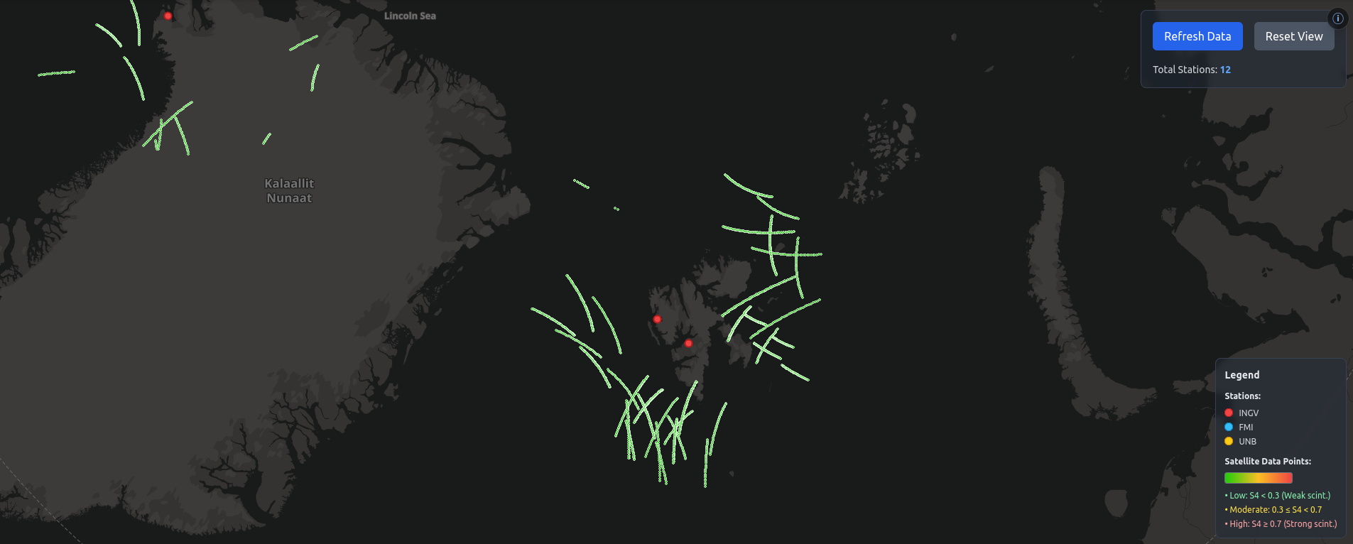
The Explore Data page is the operational workspace for visual inspection of scintillation conditions. After selecting a station, users can open charts, navigate recent observations, and focus on specific time windows, elevation thresholds, and GNSS constellations.
- Real-time S4 and Sigma-Phi timeseries exploration.
- Filtering by time range, elevation, and constellation.
- Integrated visual workflow from map selection to chart analysis.
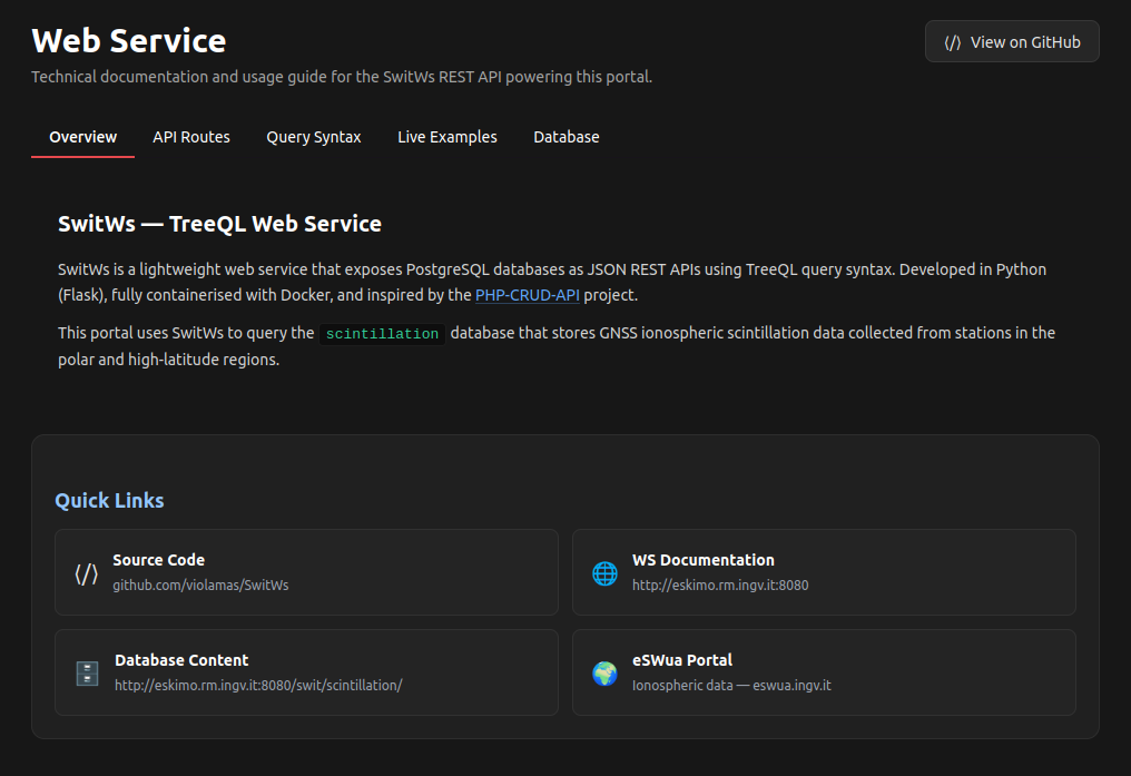
Web Service Page
The Web Service page documents the API layer used by the portal. It is intended for researchers and developers who need structured access to records, query parameters, routes, and response formats for direct integration into scripts and external applications.
- SwitWs REST endpoints with TreeQL query syntax.
- Examples of routes, parameters, and response structures.
- Reference page for reproducible and automated data access.
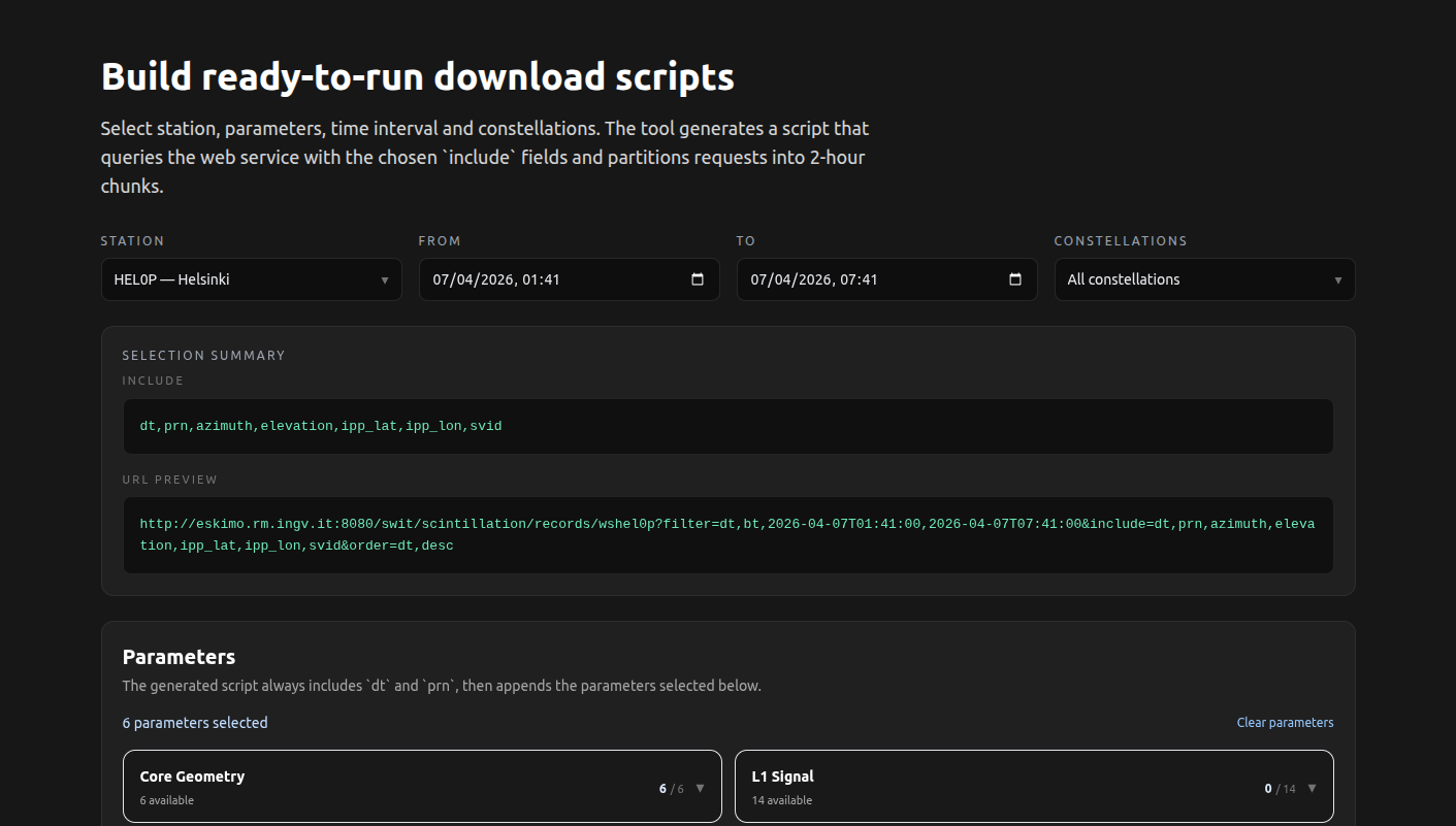
Download Tool Page
The Download Tool page helps users compose ready-to-run download scripts by selecting stations, time windows, constellations, and parameter groups directly from the portal.
- Guided selection of stations, intervals, and GNSS constellations.
- Parameter grouping for building precise include lists.
- One-click script generation for Python, MATLAB, and Rust.
Geographic Coverage
Stations are strategically positioned across the Arcticto provide comprehensive coverage of the polar cap and auroral zone phenomena.Visit the Network page to explore the station locations and their real-time status.

Content published on these pages by the Istituto Nazionale di Geofisica e Vulcanologia is distributed under the Creative Commons Attribution 4.0 International License.
© Istituto Nazionale di Geofisica e Vulcanologia (INGV) — Contributors: Massimo Viola, Carlo Marcocci, Emanuele Pica